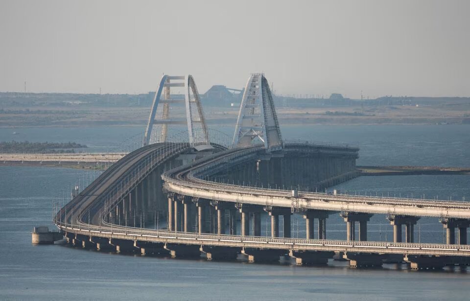
The British Defense Ministry analyzed 7 May satellite images and identified the appearance of eight barges on the southern side of the Crimean Bridge.
According to the Defense Ministry, the installation of the barges began on 10 May and was completed on 22 May.
“These barges were deployed by Russian forces in an attempt to defend the bridge and shipping channel, reducing the angles of approach for Ukrainian Unnamed Surface Vehicles,” the review states.
The UK intel reported that previous structures were damaged by storms, reducing their effectiveness.
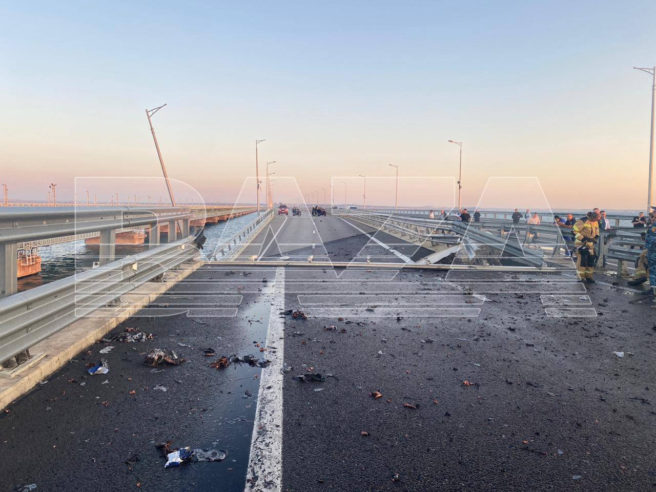
British intelligence suggests that Ukrainian strikes on the Russian ferry crossing in occupied Crimea near Kerch have seriously complicated their logistics, including for military purposes.
The Crimean Bridge, also known as the Kerch Strait Bridge, is a pair of parallel bridges that span the Strait of Kerch between the Taman Peninsula of Krasnodar Krai in Russia and the Kerch Peninsula of Crimea. The bridge complex consists of a road bridge and a separate parallel rail bridge.
Construction of the bridge began in February 2016 and was completed in May 2018. The road bridge was opened to traffic on 16 May 2018, while the rail bridge opened in December 2019. The total length of the bridge complex is 19 kilometers (11.8 miles), making it the longest bridge in Russia and the longest bridge in Europe.
The Crimean Bridge was built to provide a direct land connection between the Russian mainland and the Crimean Peninsula, which Russia annexed from Ukraine in 2014. Before the bridge’s construction, transportation between Russia and Crimea was limited to air and sea routes.
Read also:
- Drones attack North Ossetia for the first time, from where Russian fighter jets take off
- Ground Forces: Ukrainian Armed Forces hold back three Russian troops in Pokrovsk sector
- ISW: Putin implies Ukrainian strikes not crossing Russia’s nuclear “red line”


