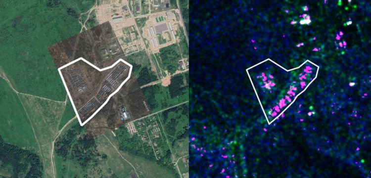
A satellite image visualization by the Ukrainian project texty.org.ua reveals that the amount of military equipment on 10 out of 26 Russian military bases at Ukraine's borders has increased during September-December 2021.
At none of the military bases had the amount of military equipment dropped.
The project allows tracking the growth of Russian military bases at Ukraine's borders using remote sensing data from the Sentinel-1 satellite.
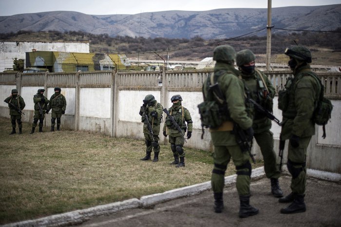
In March 2021, Russia started increasing its military forces at Ukraine's borders and in the occupied Crimea and Donbas. After talks between US President Biden and Russian President Putin, Russia withdrew some of the troops and equipment, but not all of it.
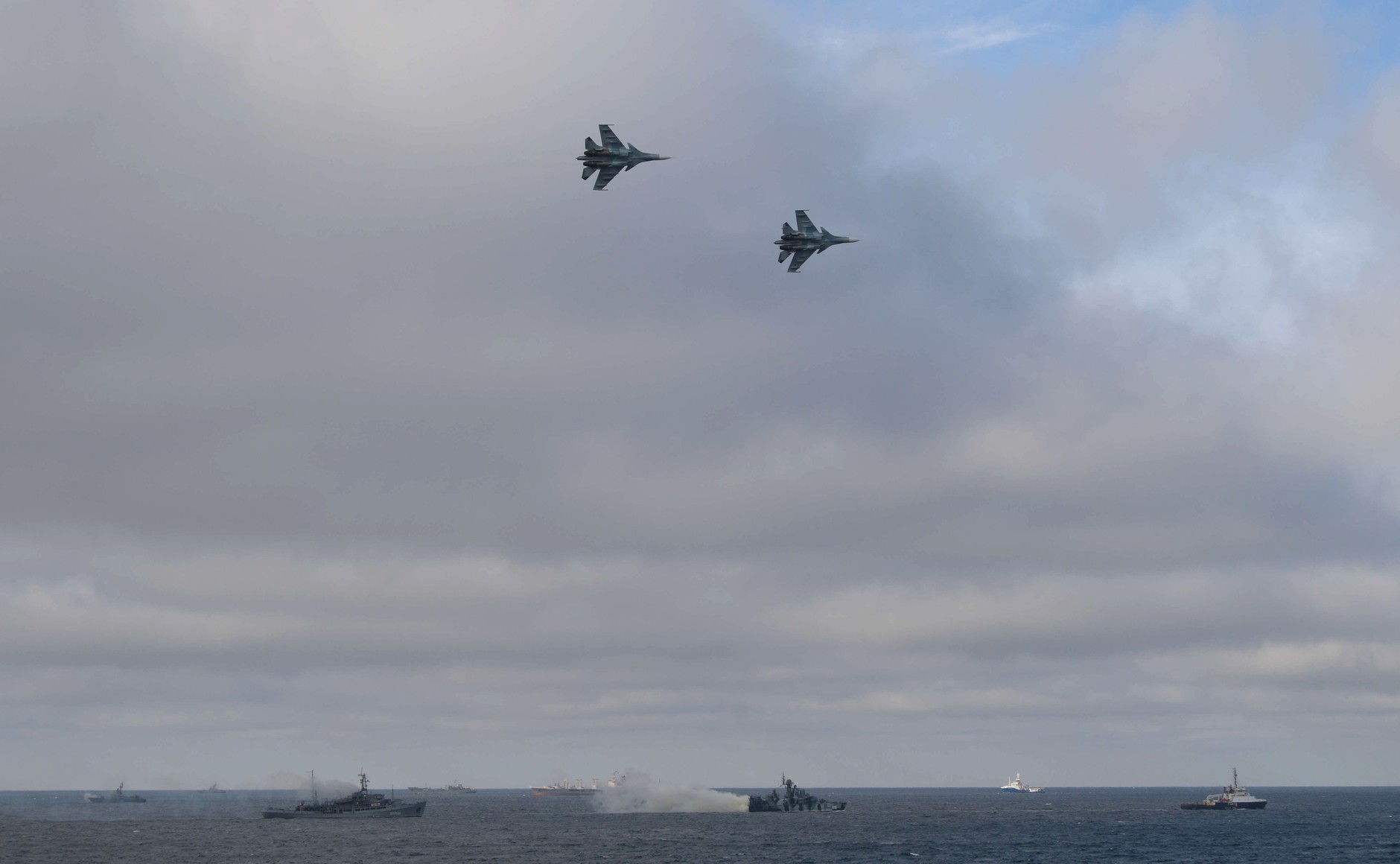
In the fall of 2021, Russia's militarization started again. According to some tallies, 120,000 Russian troops, as well as heavy military equipment, artillery systems, means of air defense and logistical support of troops are present near Ukraine's borders.
shows the contours of 26 Russian military bases located either near the Ukrainian border or in occupied Crimea or Donbas.

Fragments from the app EO Browser, which allows visualizing data from the Sentinel-1 satellite at different dates when the remote sensing image was made, appear under the map upon clicking on a polygon.

Some Russian military bases show a recent growth of military equipment, like the one in Pogonovo (pictured above). Others show no meaningful change. Yet others like one in Yelnya (below) reveal a growth of military equipment in October, after which its quantity remained stable. A second military base in Yelnya showed a growth of equipment in December.

We have conducted a short visual analysis of the dynamics of the military equipment on the military bases and found that the amount of military equipment has increased on 10 out of the 26 military bases during September-December 2021. Several bases had little traces of military equipment to begin with. No military bases had displayed a decrease of military equipment over the study period.
|
Russia |
|
|
Yelnya 1 |
increase in October 2021, then stable |
|
Yelnya 2 |
increase in December 2021 |
|
Klintsy 1 |
increase in December 2021 |
|
Klintsy 2 (inside city) |
stable during September-December 2021 |
|
Klintsy 3 (inside city) |
stable during September-December 2021 |
|
Klimovo |
fluctuation during September-December 2021 |
|
Kursk |
stable during September-December 2021 |
|
Kursk 2 |
increase during late November-December 2021 |
|
Pogonovo |
decrease from September levels in November, then a further increase in December 2021 |
|
Boguchar |
stable during September-December 2021 |
|
Valuiki 1 |
fluctuation during September-December 2021 |
|
Valuiki 2 |
slight increase in December 2021 |
|
Kamensk-Shakhtinsky |
stable during September-December 2021 |
|
Korenovsk |
stable during September-December 2021 |
|
Afipsky |
stable during September-December 2021 |
|
Raevskaya |
increase during December 2021 |
|
Occupied Crimea |
|
|
Opuk |
increase in December 2021 |
|
Perevalsk 1 |
stable during September-December 2021 |
|
Perevalsk 2 |
fluctuation during September-December 2021 |
|
Bakhchisaraj |
increase during November-December 2021 |
|
Djankoi |
increase during November-December 2021 |
|
Occupied Donbas |
|
|
Shymshynivka |
stable during September-December 2021 |
|
Buhaivka |
stable during September-December 2021 |
|
Miusynsk |
stable during September-December 2021 (few traces of military equipment) |
|
Myrne |
small increase in late December 2021 |
|
Kruhlyk |
stable during September-December 2021 (few traces of military equipment) |
The satellite imagery being used comes from the Sentinel-1 Synthetic Aperture Radar mission, which allows taking shots of the same location irrespective of weather conditions. It is of the Interferometric Wide Swath acquisition mode with a 5m by 20m resolution. Artificial land cover is displayed as pink pixels. Compare the collage below to the one in our featured image at the top of the page: the high-resolution image (left) shows the absence of military equipment, and therefore there are no pink pixels on the radar image (right).

Describing their methodology, Texty wrote that they used only the satellite images made from identical orbits so that the angles from the radar to the surface of the earth are identical. They selected the images by selecting the latest image for the given territory and then finding earlier images made from the same orbit.
Texty's project will be updated as new satellite images come in, so check their website later on.
Related:
- Military base instead of a resort: Crimea four years after the occupation
-
Putin may have pulled back from Ukraine border but he did not back down, experts warn
-
Russian court publishes documents proving Russian army presence in Ukraine, deletes them hours later
-
Russia’s Hybrid War against Ukraine intensifies while military conflict remains low-intensity

