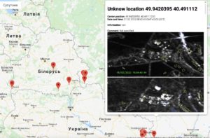
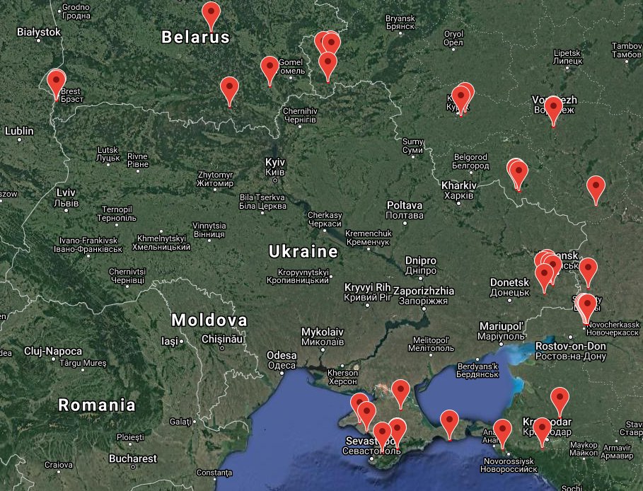
IT specialists in Kyiv have launched an automated monitoring system to record movements of Russian troops near the borders of Russia-Ukraine and Belarus-Ukraine. The data is published on their website, which is currently in test mode.
The information and images are collected from satellites, analyzed, and then recorded on the map. The current deployment of Russian troops is clearly shown. The specialists also analyze the possible dynamics of further troop movements.
The map is easy to navigate, with clickable links that show satellite images, the geolocation, center position, as well as the time and date.

The IT team has also created a Twitter bot that runs automated tasks, updates, and other data.
Incidentally, the team specifies that data is collected from European satellite operators. These satellite images are then processed by their system, which finds unusual clusters of military units and hardware and records their movements near the border.
In addition to constant monitoring, the IT team is currently searching for qualified analysts and moderators and working to improve the interface, data analysis, and images captured from European satellite operators.


